 vesseltracker.com
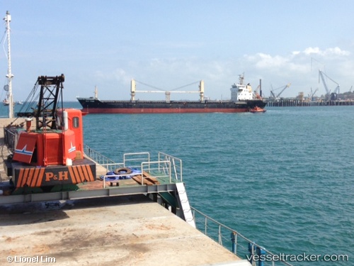
Vessel HUI DA IMO: 9560326, MMSI: 636018735 Bulk Carrier
UTC, 35.89333, -0.22833, course: -1, speed: 2
UTC, 35.90833, -0.12333, course: -1, speed: 9
2026-02-08 13:24:40 UTC, 35.88833, -0.07667, course: -1, speed: 1
Live AIS position:
UTC. Near Mostaganem),
updated 2026-02-08 13:24:40 UTC.
Find the position of the vessel HUI DA on the map. The latter are known coordinates and path.
marine traffic ship tracker show on live map
The current position of vessel HUI DA is 35.88833 lat / -0.07667 lng. Updated: 2026-02-08 13:24:40 UTCCurrently sailing under the flag of Liberia
HUI DA built in 0 year
Deadweight:
0 tDetails:
Last coordinates of the vessel:
UTC, 35.87833, -0.23167, course: -1, speed: 5UTC, 35.89333, -0.22833, course: -1, speed: 2
UTC, 35.90833, -0.12333, course: -1, speed: 9
2026-02-08 13:24:40 UTC, 35.88833, -0.07667, course: -1, speed: 1